Contact Information

Extreme precipitation disaster risk assessment data set (2019)
Dataset Overview
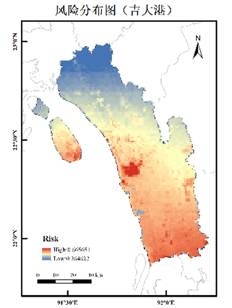
Based on 100m risk assessment data set and 100m vulnerability assessment data set, this data set respectively gives different weights to the risk and vulnerability (the risk weight is 0.8, and the vulnerability weight is 0.2), and 34 key node 100m risk assessment data sets are obtained by adding. One belt, one road area, is evaluated for flood risk in extreme areas. The data provide basis for local government departments to make decisions, and early warning before flood disasters, so that we can gain valuable time to take measures to prevent and reduce disasters, and to reduce the loss of lives and property of people caused by floods.

Dataset Details
Spatial Resolution:
Time Resolution:
Product Number: XDA20030302_002
Create Institution: National Tibetan Plateau/Third Pole Environment Data Center
Created By: HE Yufeng
Creation Date: 2021-09-23 00:00:00
File Size: 1
Data Format: GeoTiff
Type Of Data: grid;
Data Label:
