Contact Information

Spatial distribution data set of extreme precipitation disaster risk (2014-2018)
Dataset Overview
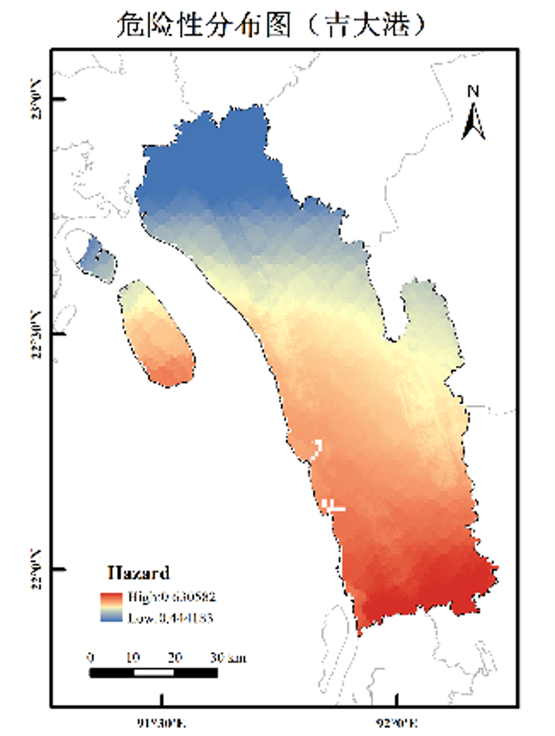
Based on the world surface water data (wod) from 1984 to 2018, this data set selects several indexes of precipitation, topography and land use type, and combines with the spatial analysis method in ArcGIS, constructs and evaluates the risk level of flood disaster in 34 key nodes under extreme precipitation conditions. One belt, one road, 34 critical nodes, is evaluated for the risk of flooding in the key areas along the extreme precipitation events. It provides a basis for local government departments to make decisions and early warning before the flood. Thus, we can gain valuable time to take measures to prevent and reduce disasters, and to reduce people's lives and property losses caused by floods. Loss.

Dataset Details
Spatial Resolution:
Time Resolution:
Product Number: XDA20030302_029
Create Institution: National Tibetan Plateau/Third Pole Environment Data Center
Created By: GE Yong
Creation Date: 2021-09-23 00:00:00
File Size: 1
Data Format: GeoTiff
Type Of Data: grid;
Data Label:
