The 10m Resolution China Building Height (CNBH) Dataset (2020)
Dataset of urban built-up area in China (1992-2020)
2020年中国地级以上城市优于2米分辨率建成区产品数据集
A dataset of 10m changes in built-up areas of Haikou city from 2016 to 2021
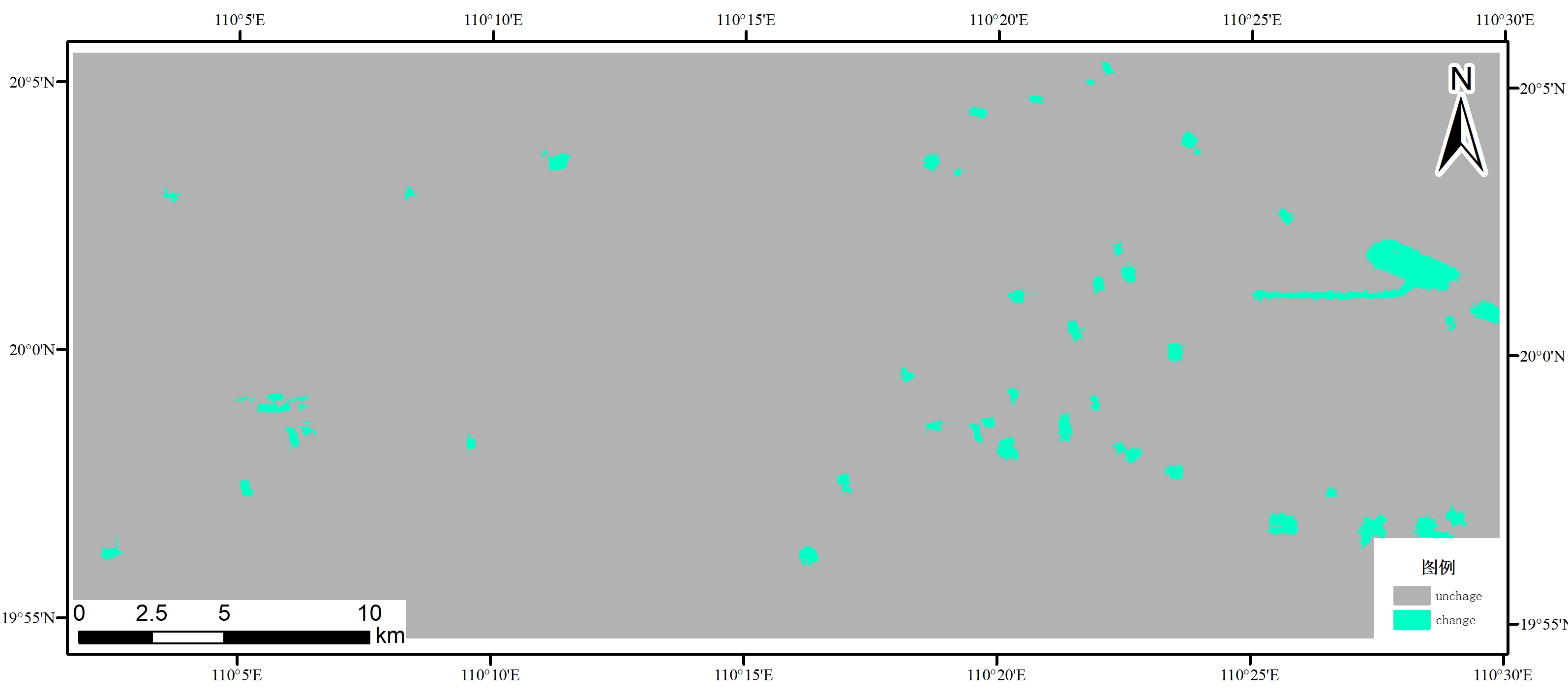
A dataset of 16m changes in built-up areas of Haikou city from 2019 to 2020
A dataset of 10m changes in built-up areas of Haikou city from 2016 to 2021
Contact Information

A dataset of 16m changes in built-up areas of Haikou city from 2019 to 2020
Dataset Overview
By using the domestic gf-6 satellite data and adopting the deep learning model, the monitoring data set of urban land use change in Haikou from 2019 to 2020 is constructed, which provides a better construction role for urban construction and development.

Dataset Details
Spatial Resolution:
Time Resolution:
Product Number: XDA19030105_007
Create Institution: International Research Center of Big Data for Sustainable Development Goals
Created By: Zhang Linlin
Creation Date: 2022-12-13 16:50:13
File Size: 1
Data Format: GeoTiff
Type Of Data: Raster;
Data Label:
