Contact Information

Ocean eddy Recognition and tracking dataset based on satellite altimeter(V2.0)
Dataset Overview
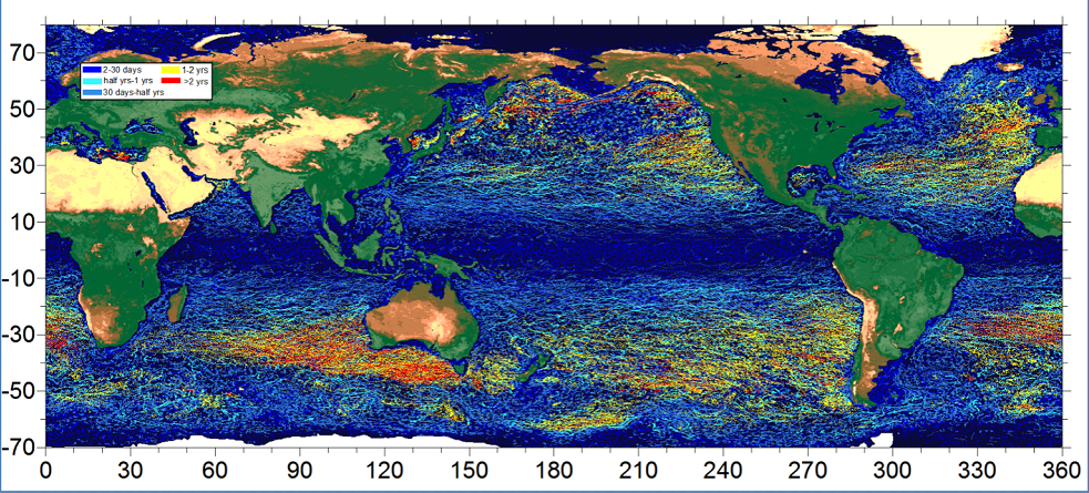
Based on the different sea level height data types used for vortex identification, we provide two versions of vortex identification tracking data set (1993-2019). Version one is the mesoscale vortex identification tracking data set based on SLA (Sea Level Height Anomaly) data identification. Version 2 is a mesoscale eddy tracing data set based on an ADT (Absolute Dynamic Topography) recognition. The sea level data is from the All-SAT merged product of Copernicus Marine Service (DUACS DT2018), called SEALEVEL_GLO_PHY_L4_REP_OBSERVATIONS_008_047. The mesoscale eddy recognition and tracking methods used in this dataset are respectively mesoscale eddy recognition method based on parallel calculation of satellite altimeter [1] and improved automatic algorithm of global eddy tracking based on satellite altimeter data [2].

Dataset Details
Spatial Resolution:
Time Resolution: 1993-2019; daily update/2019
Product Number: XDA19090202_011
Create Institution: Faculty of Information Science and Engineering,OUC/Institute of Evolution&Marine Biodiversity,OUC
Created By: Fenglin Tian; di Wu; Liming Yuan; ge Chen; Zhijiao Li
Creation Date: 2021-12-19T16:00:00.000Z
File Size: 84
Data Format: json
Type Of Data: Other
Data Label:
