Contact Information

Ocean eddy identification data set based on satellite altimeter and Argo float

Dataset Overview
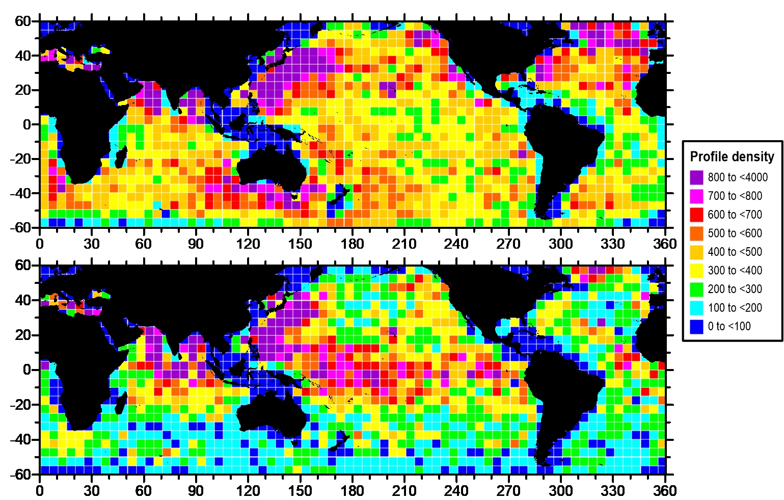
The dataset is the eddy profile dataset which is identified by the sea-level height anomaly data obtained by satellite altimeter from 2002 to 2019, which is matched with the eddy profile data of Argo floats, and the eddy profile dataset identified by the potential density anomaly obtained by Argo. The sea surface height data is from Copernicus marine service all sat merged products, and Argo profile data is from Coriolis global data center, France. The dataset is stored in the pickle file format, which provides Argo floats longitude and latitude, 0-1000m potential density anomaly vertical profile and eddy information (eddy radius, boundary, amplitude, kinetic energy, etc.) and other parameters in the global ocean.

Dataset Details
Spatial Resolution:
Time Resolution: day
Product Number: XDA19090202_002
Create Institution: Ocean University of China; Qingdao National Laboratory for Marine Science and Technology
Created By: Chen Ge, Chen Xiaoyan
Creation Date: 2020-11-05T16:00:00.000Z
File Size: 1
Data Format: Pickle
Type Of Data: Other
Data Label:
