Contact Information

Global 500-m Forel-Ule Index product of large lakes from 2000 to 2021 (FUIGL500_2000-2021)
Dataset Overview
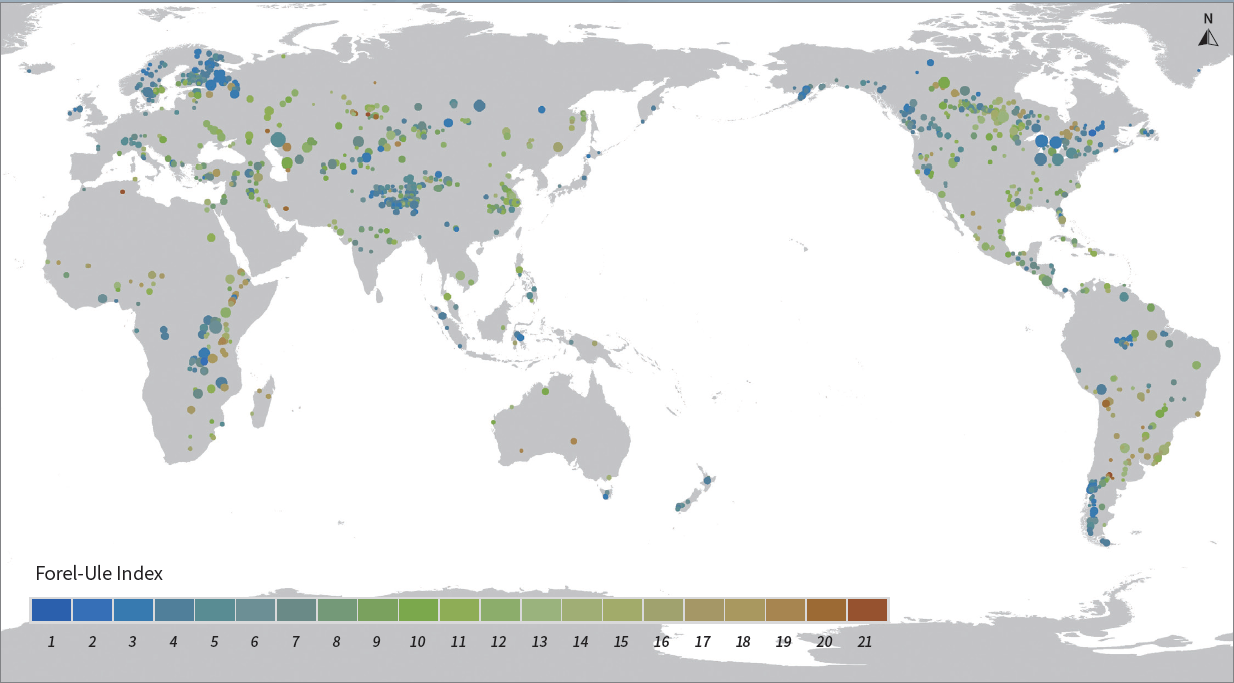
The Forel-Ule Index (FUI), also known as the water color index, can be a useful indicator of overall water quality. It originates from the traditional Forel-Ule scale, which classifies the color of natural water into 21 scales ranging from dark blue to yellowish-brown. In generally, the lower the FUI, the cleaner the water; conversely, the higher the FUI, the more turbid the water. The input data are the Terra MODIS land surface reflectance data. The data was transformed from RGB (red, green, blue) color space to the CIE (Commission Internationale d’Eclairage) color space and finally the FUI was derived.

Dataset Details
Spatial Resolution: 500m
Time Resolution: Annual
Product Number: XDA19090136_002
Create Institution: International Research Center of Big Data for Sustainable Development Goals
Created By: Shenglei Wang; Junsheng Li
Creation Date: 2023-03-22T05:41:16.740Z
File Size: 13132
Data Format: GeoTiff
Type Of Data: grid
Data Label:
