Contact Information

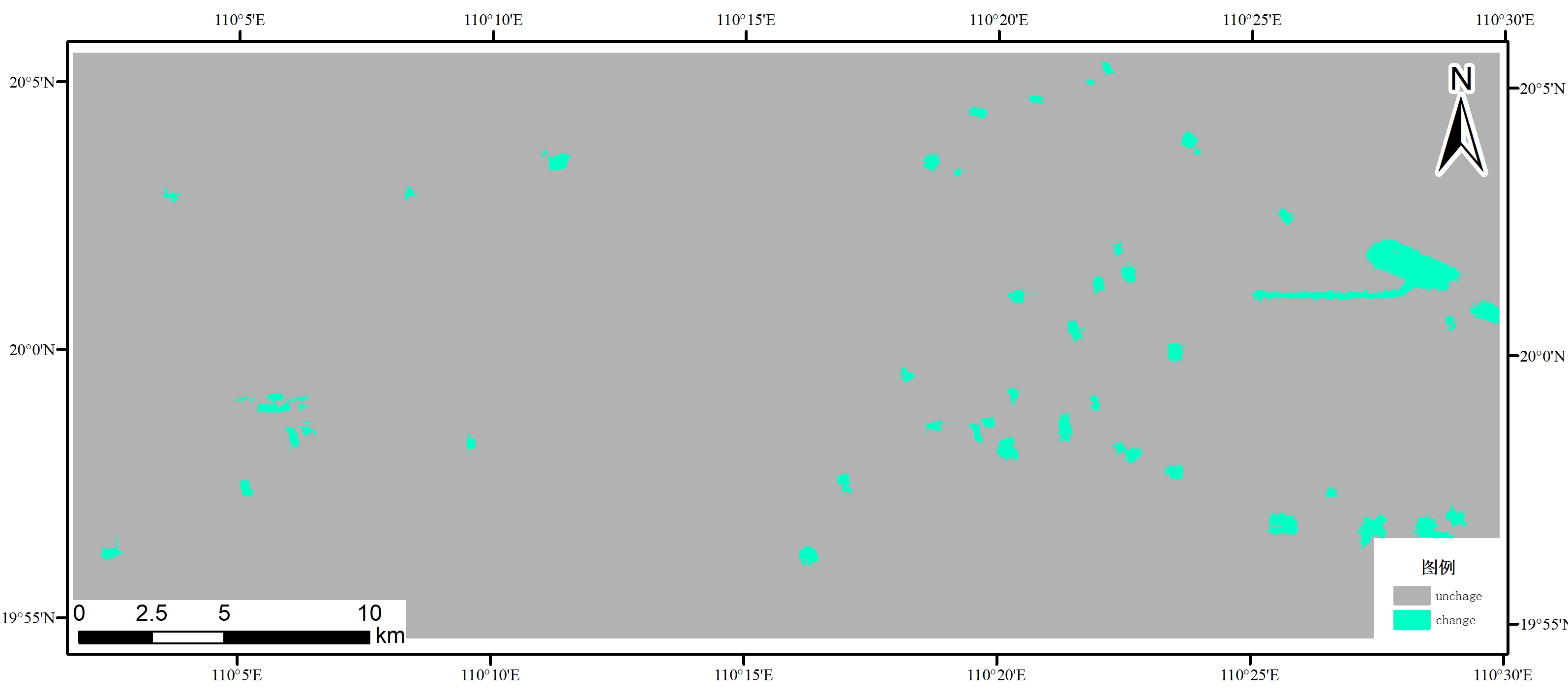
A dataset of 16m changes in built-up areas of Haikou city from 2019 to 2020
Dataset Overview
By using the domestic gf-6 satellite data and adopting the deep learning model, the monitoring data set of urban land use change in Haikou from 2019 to 2020 is constructed, which provides a better construction role for urban construction and development.

Dataset Details
Spatial Resolution: 16m
Time Resolution: 1 year
Product Number: XDA19030105_007
Create Institution: International Research Center of Big Data for Sustainable Development Goals
Created By: Zhang Linlin
Creation Date: 2022-12-13T08:50:13.235Z
File Size: 1
Data Format: GeoTiff
Type Of Data: Raster
Data Label:
Data Citation
Zhang Linlin. A dataset of 16m changes in built-up areas of Haikou city from 2019 to 2020. 2022.
Data Licence Agreement
Data set metadata and entity data are shared within the project during the project implementation period. The data generation or processing method is interpreted by the data author. The data user shall respect the copyright of the data author and the contribution of the service provider, and clearly mark or thank the data author and the data provider in the data exchange, dissemination, achievements and publicity.
Funded Projects
Supported by Hainan Provincial Department of Science and Technology under Grant No. ZDKJ2019006 and the "Strategic Priority Research Program" of the Chinese Academy of Science, Grant No. XDA19030105
