Contact Information

Multi-temporal Vector Road Data Product of Chenzhou's Main Urban Area Based on High-Resolution Imagery (2010, 2015, 2020,2024)
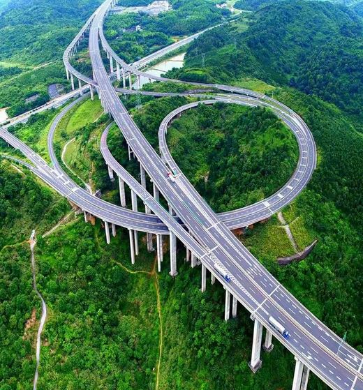
Dataset Overview
Based on high-resolution remote sensing images of Chenzhou's main urban area from 2010, 2015, 2020 and 2024 years, a deep learning-based road extraction model was applied to generate binary road maps, which were subsequently vectorized. The resulting dataset includes spatial locations, lengths, widths, and other attributes of the roads. The generation of this data product involved multiple steps: first, the individual scene images were mosaicked, fused, and clipped to produce a 2m resolution remote sensing image. Then, a deep learning-based algorithm was applied to extract roads, resulting in a binary road image. For the binarized road image, it was imported into ArcGIS, and automated vectorization was performed using the ArcScan toolbar. Finally, geometric calculations were conducted on the vectorized roads to derive their lengths.

Dataset Details
Spatial Resolution:
Time Resolution:
Product Number: CBAS2026-SJGX-017
Create Institution: International Research Center of Big Data Sustainable Development Goals(CBAS);Big Earth Data Center,CAS
Created By: Tao Lin, Wang Man, Xiaofeng Du,Yuqin Liu
Creation Date: 2026-02-04 10:37:10
File Size: 1
Data Format: shp
Type Of Data: 矢量
Data Label:
