Contact Information

Desert Locust Monitoring and Loss Assessment in Eritrea, Saudi Arabia and Yemen (December 2024)
Dataset Overview
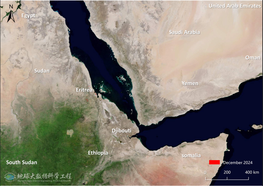
This dataset was generated by the Earth Big Data Science Engineering Project's "Monitoring and Assessment of Desert Locust Plagues in Africa and Asia" working group, using MODIS satellite data, meteorological data, survey data, and pest prediction models. The data was processed through the Digital Earth Science Platform, presenting the dynamic monitoring results of desert locust plagues in Eritrea, Saudi Arabia, and Yemen for December 2024. The dataset covers locust distribution across the Red Sea coastal and inland areas of these countries, including detailed information on locust spread, affected areas in farmland, grasslands, and shrublands, and the severity of the damage. The data shows that in December 2024, the total affected vegetation area across the three countries was 74,300 hectares (2,050 hectares in Eritrea, 2,280 hectares in Saudi Arabia, and 3,100 hectares in Yemen), and it includes predictions for the locust plague's development over the next two months. This dataset can be used for desert locust disaster monitoring, agricultural loss assessment, and disaster prevention decision-making, providing valuable insights for regional agricultural production and food security.

Dataset Details
Spatial Resolution:
Time Resolution:
Product Number: XDA19080304264
Create Institution: Big Earth Data Center, CAS
Created By: Dong Yingying
Creation Date: 2025-06-07 20:38:45
File Size: 1
Data Format: tiff
Type Of Data: 栅格
Data Label:
