Contact Information

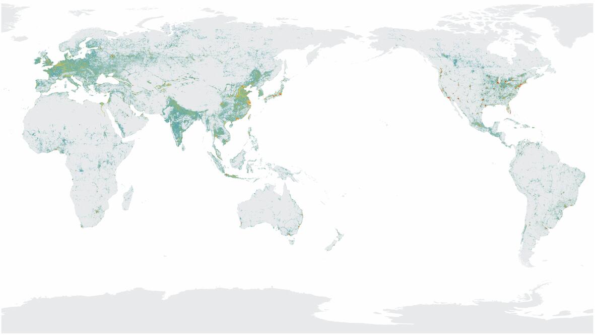
Global 30-m impervious-surface dynamic dataset in 2000-2020 (GISD30_2000-2020)

Dataset Overview
How to accurately capture the impervious surface dynamics from time series remote sensing imagery has always been the focus and hotspot of urban and environmental remote sensing research. To tackle this issue, a high confidence training dataset at the global scale was created by utilizing prior land cover data according to a series of extraction rules. The spectral generalization approach and a sample migration strategy were developed to achieve long-term dynamic monitoring of impervious surfaces. The GISD30 dataset was ultimately produced by classifying the time-series Landsat reflectance imagery by integrating the local adaptive random forest model and the spectral generalization approach.

Dataset Details
Spatial Resolution: 30m
Time Resolution: 2000, 2005, 2010, 2015, 2020
Product Number: XDA19090125_010
Create Institution: International Research Center of Big Data for Sustainable Development Goals
Created By: Liangyun Liu; Xiao Zhang
Creation Date: 2022-04-25T16:00:00.000Z
File Size: 4765
Data Format: GeoTiff
Type Of Data: grid
Data Label:
