Scientific Research Results

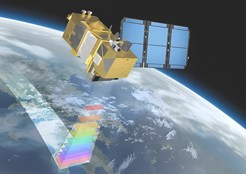
Aggregate the original dataset result data acquired and collected in the research and demonstration project of key technology of urban habitat monitoring supported by earth big data, including high-resolution satellite image data (SPOT, GF series, SDGSAT-1, etc.), unmanned aerial flight data in Chenzhou and Guilin, as well as scientific research result data.


