BIG DATA for SDGs
BIG DATA for SDGs

Remote Sensing Data Ready To Use (Ready To Use, RTU) Products
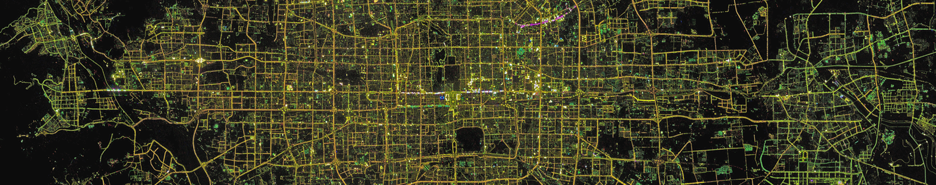
Remote sensing data, as a kind of scientific data, has the 5V characteristics of big data, and its potential application value has not been fully utilized. For this reason, remote sensing data should be understood from the perspective of engineering, and data engineering should be carried out from the perspective of the whole life cycle, with "data-knowledge-service" as the main line. One of the main purposes of remote sensing data engineering is to provide basic data products for efficient remote sensing information mining, which are called Ready To Use (RTU) products. RTU products are characterized by geometric standardization and radiation normalization, which are easy for users to apply directly. Geometric standardization is realized through high-precision orthorectification of satellite data, and high-precision inversion of surface reflectance and surface temperature is the premise of radiation normalization of satellite data. On the basis of geometric standardization products and radiation normalization, large-area mosaic products and index products have been further developed, such as one map for the whole world, one map for the whole country, as well as the normalized difference vegetation index (NDVI), the enhanced vegetation index (EVI), the soil-adjusted vegetation index (SAVI), the improved soil-adjusted vegetation index (MSAVI), and the normalized difference water body index (NDWI), Normalized Difference Moisture Index (NDMI), and Normalized Burning Index (NBR) products. These products now constitute the basic content of RTU products, which are dissected and managed in a grid system to provide the basis for the subsequent realization of intelligent processing and time series analysis of remote sensing data.